When the Sirens Compete with the Jets: A Resilience Audit for Heathrow's Neighbours
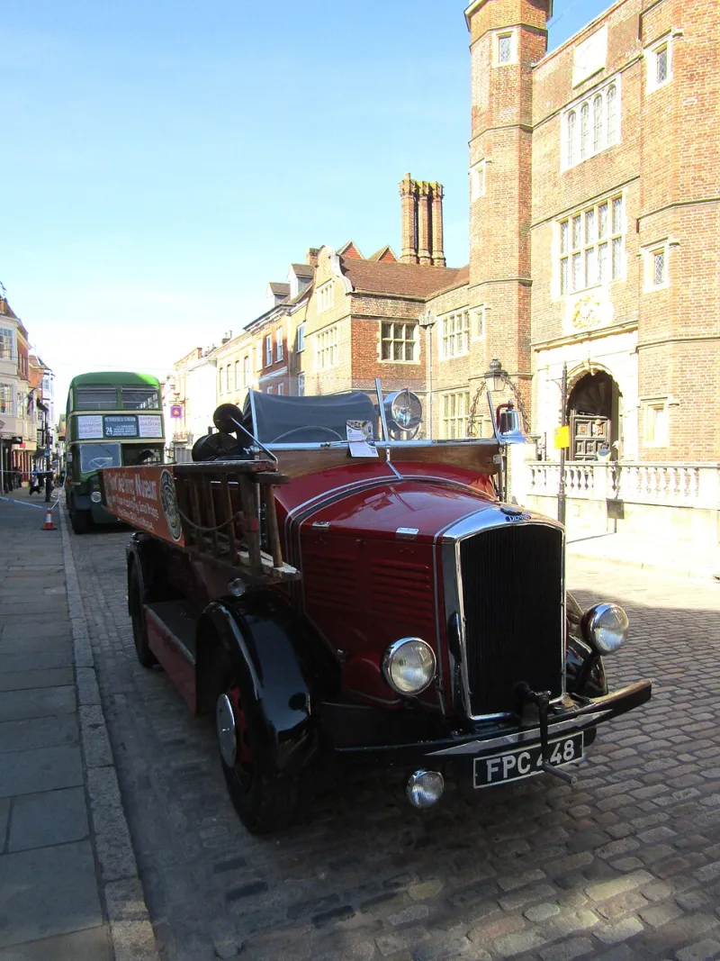
Photo: Colin Smith, CC BY-SA 2.0, via Wikimedia Commons
A pause on Heathrow expansion is usually described as a pause on concrete, on carbon, on the demolition of villages. It is also, and less often noted, a pause on a set of assumptions embedded in the paperwork — assumptions about how quickly help arrives, how many beds are free, which way traffic flows when it must not flow at all, and what happens when the water comes up as well as the aircraft come down.
Emergency planning rarely leads a consultation. It sits in an annex, cross-referenced to a statutory duty, discharged by a paragraph confirming that the relevant bodies have been consulted. Yet for the households of Harlington, Sipson, Longford, Stanwell Moor and Horton, the resilience question is the one that most directly touches the ordinary business of being safe at home.
The distinction that gets blurred
Heathrow's own fire and rescue service is a formidable operation, and nothing in this article questions it. But an airport's Category 9 rescue capability is designed for the airfield: for an incident within the boundary, on a runway, in a hangar. The sirens that matter to residents are usually different ones — a fire in a terraced street off the Bath Road, a care home evacuation in Stanwell Moor, a road collision on the A3044 during a shift change.
Those are the responsibility of the London Fire Brigade, Surrey Fire and Rescue Service and the ambulance trusts. They do not appear in the promoter's capacity tables. They should. Any serious audit of expansion begins by asking whether appliance attendance times in the wards beneath the approach path have been modelled with and without the additional vehicle movements, the additional workforce, and the additional road closures that construction and operation would generate. A promise that the airport can look after itself is not a promise that the neighbourhood can.
The bed count problem
Hospital capacity is the second blind spot. The relevant estate is not theoretical: Hillingdon Hospital, Ashford and St Peter's, Wexham Park, West Middlesex, and the specialist services that sit behind them. These are institutions already operating under sustained pressure, with discharge arrangements that depend on social care capacity outside their walls.
Major incident planning works on surge — the ability to absorb a sudden, exceptional demand. The honest question is not whether these hospitals could cope with a single incident tomorrow, but whether a materially larger resident and worker population in the same catchment leaves the same headroom in five or ten years' time. Expansion documents tend to answer a narrower question: whether the airport's own medical facilities are adequate. That is not the question the Health and Wellbeing Board should be asked, and it is not the question residents are asking.
Evacuation is a road question before it is an aviation question
If an evacuation were ever required, it would be executed on the M4, the M25, the A4, the A3044 and the Northern Perimeter Road, in the margins of a network already close to its practical limit at peak. Two things follow.
First, an evacuation plan that assumes free-flowing arterial roads is a plan built on a fiction. Second, and more troubling, evacuation planning must contemplate the compound event: an aviation incident coinciding with fluvial flooding in the Colne Valley, or with a closure on the motorway network for unrelated reasons. The winter of 2013–14, when the Thames came over the banks at Wraysbury, Datchet and Staines, is not a rhetorical flourish. It is the local precedent against which any credible resilience case must be tested.
The flood file
Which brings us to water. Surface-water drainage, culvert capacity, the impermeable acreage of new apron and car parking, the interaction with the Colne and the Duke's River — all of these belong in the resilience assessment, not in a separate environmental chapter read by different people.
Residents and councillors are entitled to ask for the sequential test and exception test evidence in full, for the drainage strategy covering a design event with an explicit climate change allowance, and for confirmation of which statutory body has signed off the modelled outfall conditions. Too often, flood risk is treated as a matter of attenuation ponds and green roofs. It is also a matter of whether an emergency convoy can move along a road that is under water.
Eight questions for the council chamber
- Has the promoter published modelled changes to fire, ambulance and police attendance times in the affected wards, distinguishing the airport perimeter from the surrounding streets?
- What additional surge capacity, and what capital contribution, has been identified for the hospital and primary care estate in Hillingdon, Spelthorne and Slough?
- Which evacuation routes have been modelled, at what time of day, and against what background traffic assumptions?
- Has a compound event — aviation incident plus fluvial or surface-water flooding — been tested, and where is the report?
- What is the assumed lead time for a no-notice evacuation of a care home, a school or a hospital within the affected area, and who validated it?
- Has the Local Resilience Forum been asked to comment formally, and will its response be published in full rather than summarised?
- How does the plan account for residents who do not drive, do not speak English as a first language, or cannot self-evacuate?
- Who is accountable if the modelled assumptions prove wrong, and what review mechanism exists after consent is granted?
Pause means pausing the assumptions too
The case for a pause is not a case for paralysis. It is a case for refusing to let a twenty-year decision rest on annexes that no one has read closely. Resilience is the least glamorous chapter in any expansion document and the one most likely to be tested in the worst hour of someone's life.
Before the pause is lifted, the public should be able to read, in plain English, who answers the 999 call, how long they take to arrive, where the beds are, which way the traffic goes and what happens when the river rises. If those answers cannot be given, the plan is not ready — however many aircraft it proposes to carry.